Stadsgårdskajen.

Stockholm city, as seen from the south.

Stockholm, an area called Slussen (Sluice).

Stockholm, an area called Slussen (Sluice).

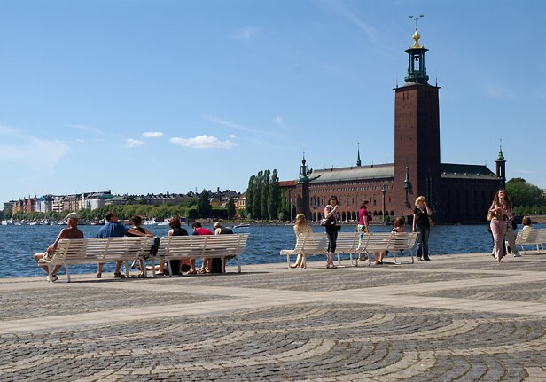
Stockholm, Slussen (Sluice). The City Hall and Norr Mälarstrand in the background.

Stockholm, Slussen (Sluice). Bridges between south and city center of Stockholm.

Stockholm, Slussen (Sluice). Traffic junction for cars, trains, boats between south of Stockholm and the old town and the lake Mälaren.
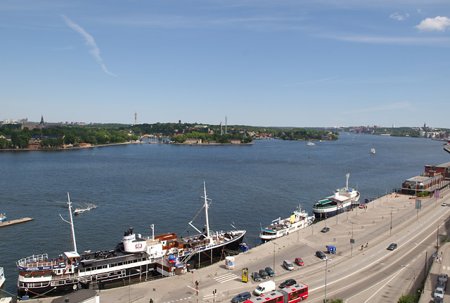
Stadsgårskajen.

The city center as seen from the south.

An ad for a toothpaste. Swedens first animated neon ad, from 1909.

Toothpaste ad. From 1909.

Katarinahissen, the Katarina Lift. First built in 1883 and rebuilt in 1933. 38 meters up.

Viking boat, seen from the Katarina Lift.
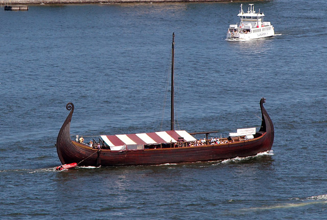
Viking boat.

Narrow alleys in the old town.

Yes, the building is pink. At Riddarholmen.

Riddarholmen church.

At Riddarholmen.

The City Hall as seen from Riddarholmen.

At Riddarholmen. Water between the south (Söder, left) and north (Kungsholmen, right) of Stockholm.